
Fast Castle, Berwickshire
The excavation of the site resulted in evidence that showed it was probably an Iron Age promontory site which had been re-occupied at a later date, continuing until its abandonment by the early 17th century except for a brief re-occupation during the Cromwellian era.
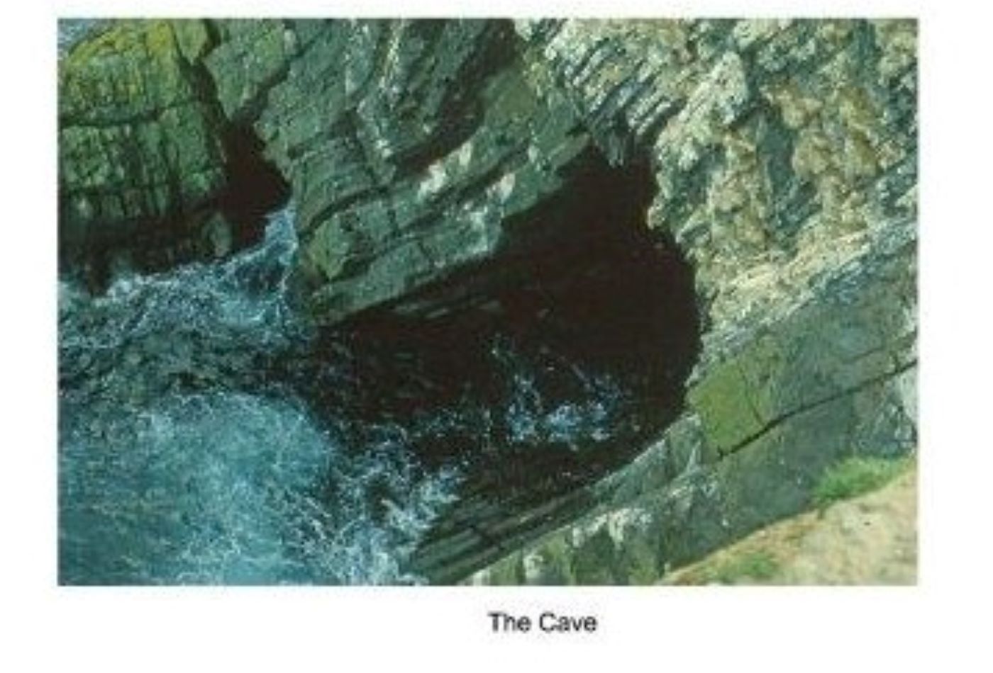
In 1976, with the aid of RAOC and WRAC personnel, EAFS attempted to test the rumour that the castle was connected by a tunnel from the sea-level cave some 120 feet below. Access was gained by abseiling down the cliff face. A narrow tunnel at the rear of the cave hinted at a possible link, but time ran out before it could be confirmed.
However, the excavation yielded many important finds. Members, led by Keith Mitchell and Mary Kennaway, took it upon themselves to examine and compile reports on the various categories as well as seeking help from specialists. The resultant excavation report gained the British Archaeological Awards’ Pitt Rivers Award. Another group was set up to research the Castle’s history, which was published in two volumes.

Excavation at Fast Castle
Cramond
From 1975, members worked at Cramond by assisting the City of Edinburgh Council Archaeology Services (CECAS), AOC Archaeology, Headland Archaeology and Cramond Heritage Trust (CHT) in various ways, such as by excavation, finds processing and by providing local information.
Led by Charlie Hoy, Society excavations in woodlands east of the fort revealed a multi-phase road. This instigated a major excavation by AOC Archaeology which located the site of a vast Roman annex in an area formerly occupied by a physical training college.
Prior to building works at Cramond Tower, a brief EAFS excavation revealed traces of an early extension; later, prior to creation of a wildlife pond, a previously unknown defensive ditch was found at the north-east corner of the Roman fort.
In 1988, the Society was invited by CECAS to investigate the area between the north rampart of the Roman fort and its bath house. This was supervised by member Val Dean and excavations continued until 2001. Remains of the demolished 17th-century village of Nether Cramond were recorded – but their presence had removed virtually all Roman features. Whilst so doing, Mesolithic features c8500 BC were exposed – the site of Scotland’s first settlers after the Ice Age. This was excavated by CECAS and National Museums of Scotland with EAFS assistance.

Working in the Roman Fort at Cramond

Remains of Cramond Roman village
Penicuik
In 2004, the original trench was extended, and two more opened. Areas of stone paving were exposed.
2005 saw a second resistivity survey to the NE of the ‘castle’. Trenches were extended, finding paving covered with a lens of dark material, indicating the site of a hearth. Two cobbles were found, with distinctive wear marks, identified as rubbing stones.
Trench 2 was extended in 2006, producing a wedge-shaped stone tool near the find-spots of the cobble-tools, all possibly artefacts of leather preparation. Trench 3 was opened across the bank and ditch, and a post hole with a sandstone setting was found.
In 2007 Trench 2 was deepened, exposing stone settings within probable floor levels. Trench 3 was extended, the only finds being 19th century glass. Revetting at the NE end of the promontory was investigated which may have been part of the 18/19th century designed landscape. Further geophysics was conducted in a field to the south. Aerial photographs from 1955 show 2 circular crop marks in this field, aligning with areas of low resistance.
In 2008, a pit near the hearth was investigated. Charcoal was sent for carbon-14 analysis, producing a date of 2150±30 BP, nicely Iron Age.
What do we think Castlehill was? Probably an Iron Age site, probably not a fort. With no ‘domestic’ finds, but tools and hearths, Castlehill was likely the site of a workshop. The circular cropmarks may represent roundhouses.

Beginnings of excavation at Castlehill Penicuik
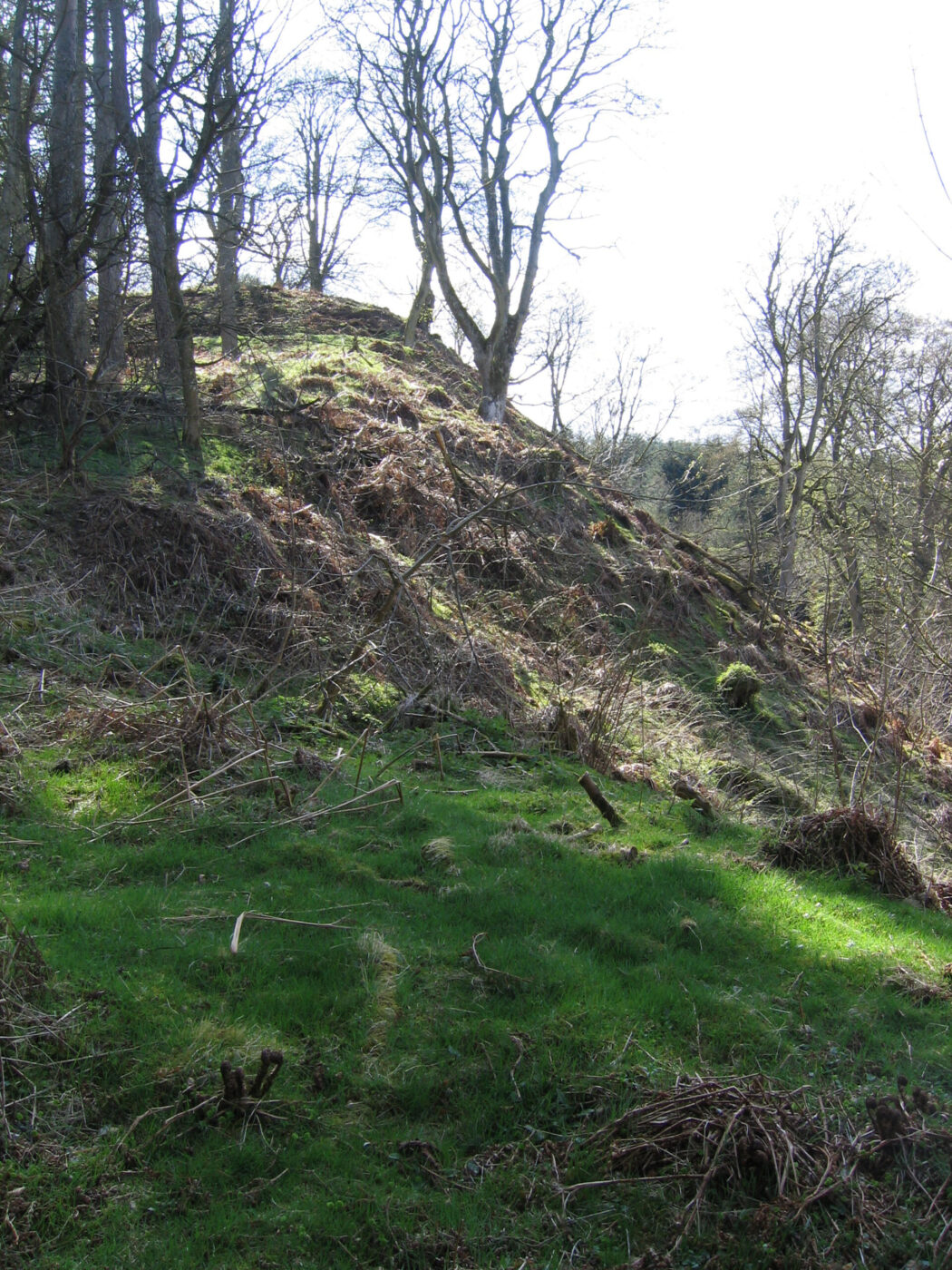
N E slope Castlehill Penicuik